IMPORTANT: The API (Version 1) is deprecated and will be deactivated on 1 July 2024. Please switch to the API (Version 2) which is described in detail here.
Assad, Reservoir (Tabqa, Reservoir) (111) Syria, Asia
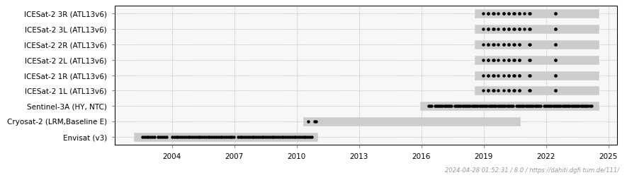
Water Level Time Series from Altimetry
Data by Satellite
Altimeter Data
The data of the following altimeter missions and corresponding passes have been used for the estimation of the water level time series. An additional '*' indicates that an additional retracking of the altimeter measurements was performed.