

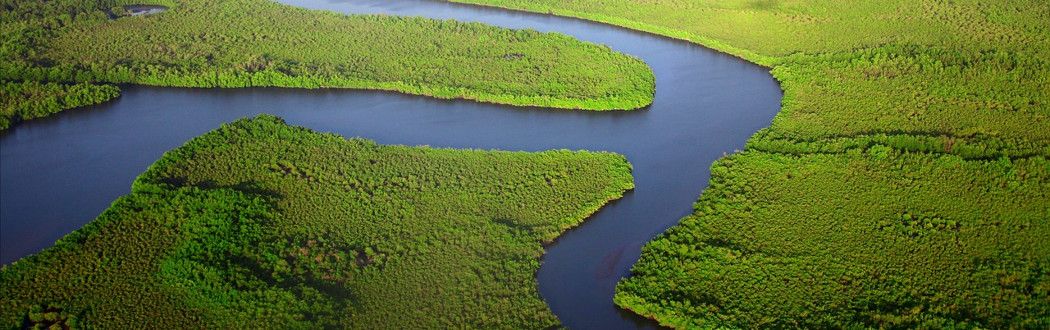
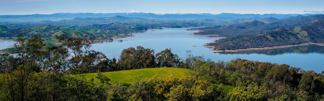
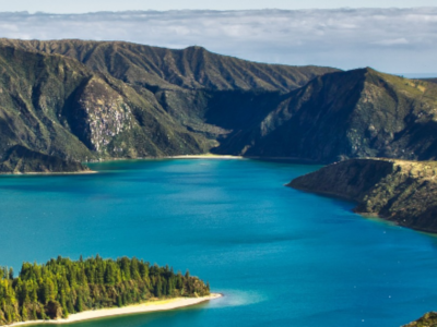
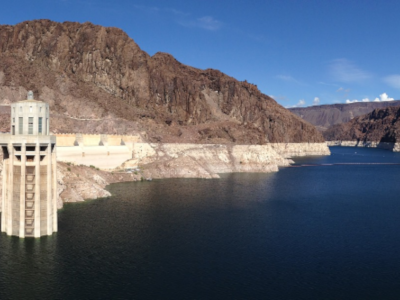
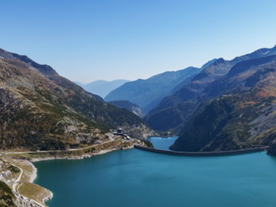
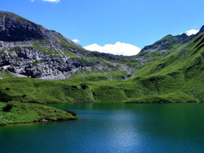
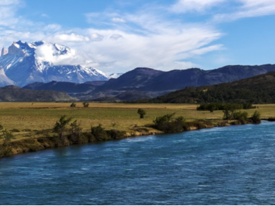
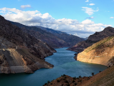
The Database for Hydrological Time Series of Inland Waters (DAHITI) was developed by the Deutsches Geodätisches Forschungsinstitut der Technischen Universität München (DGFI-TUM) in 2013 to provide water level time series of inland waters. Today, DAHITI provides a variety of hydrologial information on lakes, reservoirs, rivers, and wetlands derived from satellite data, i.e. from multi-mission satellite altimetry and optical remote sensing imagery. All products are available free of charge for the user community after a short registration process.
| Africa | Asia | Australia | Europe | North America | South America | Global | |
|---|---|---|---|---|---|---|---|
| #Targets | 2564 | 3176 | 136 | 6701 | 2064 | 4875 | 19889 |
This product "Water Levels (Altimetry)" provides water level time series for lakes, reservoirs, rivers and wetlands derived from multi-mission satellite altimetry.

The product "Surface Areas" contains surface area time series for lakes and reservoirs derived from optical imagery such as Landsat and Sentinel-2.
The product "Volume Variations" provides time series of volume variations, estimated for lakes and reservoirs using water levels from satellite altimetry and surface areas from optical imagery.
The product "Bathymetry" provides the bathymetry above the minimum observered surface area used for the estimation of volume variations.

The product "Water Occurance Mask" provides the water probability of lakes and reservoirs derived from optical imagery since 1984.

The product "Land-Water Masks" contains binary land-water masks which are derived in the processing step of computing surface area time series.
The product "Hypsometry" describes the relationship of water levels and surface areas of lakes and reservoirs called hypsometric curve.
The product "Water Levels (Hypsometry)" contains a water level time series derived from the hypsometric curve of a lake or reservoir in combination with surface areas from optical imagery.

The product "River Discharge" provides the discharge of rivers derived from satellite altimetry and optical imagery.
The product "Water Surface Slope" provides the water surface slopes derived from the altimeter mission ICESat-2.

The product "River Tides" provides the information about tides in rivers derived from SWOT.