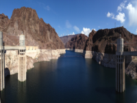
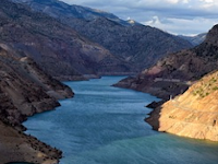
The "
Database for Hydrological Time Series of Inland Waters" (DAHITI) provides the following products which are derived from remote sensing data such as satellite altimetry and optical images.
Water Level Time Series from Satellite Altimetry
This product "Water Levels (Altimetry)" provides water level time series for lakes, reservoirs, rivers and wetlands derived from multi-mission satellite altimetry.
[More]
Surface Area Time Series from Optical Imagery
The product "Surface Areas" contains surface area time series for lakes and reservoirs derived from optical imagery such as Landsat and Sentinel-2.
[More]
Water Occurance Masks
The product "Water Occurance Mask" provides the water probability of lakes and reservoirs derived from optical imagery since 1984.
[More]
Land-Water Masks
The product "Land-Water Masks" contains binary land-water masks which are derived in the processing step of computing surface area time series.
[More]
Time Series of Volume Variations
The product "Volume Variations" provides time series of volume variations, estimated for lakes and reservoirs using
water levels from satellite altimetry and surface areas from optical imagery.
[More]
Hypsometry
The product "Hypsometry" describes the relationship of water levels and surface areas of lakes and reservoirs called hypsometric curve.
[More]
Bathymetry
The product "Bathymetry" provides the bathymetry above the minimum observered surface area used for the estimation of volume variations.
[More]
Time Series of Water Levels from Hypsometry
The product "Water Levels (Hypsometry)" contains a water level time series derived from the hypsometric curve of a lake or reservoir in combination with surface areas from optical imagery.
[More]
Time Series of River Discharge
The product "River Discharge" provides the discharge of rivers using satellite altimetry and optical imagery.
[More]
Water Surface Slope
The product "Water Surface Slope" provides the water surface slopes derived from the altimeter mission ICESat-2.
[More]